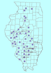
Maps are a representation of what is actually on the ground. As we move into RTK and Survey grade maps, the get close to being what is actually on the ground. The user needs to determine how accurate the maps need to be.
CCA, CPSS, CPSEC
Reared on a farm in Southwestern Illinois
Educated at the University of Illinois in Urbana-Champaign (1977)
25 years with USDA-SCS (NRCS since 1994)
Soil-Right Consulting Services, Inc. 2005 - 2015
RPM Soils LLC 2016 to present
No comments:
Post a Comment