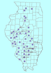
One of the most important features of GIS is that it can make planning and zoning much more manageable. Existing data layers such as soils, floodplain boundaries, and undermined areas, can be used to make decisions about appropriate future development. Planning and zoning is not about telling people what to do with their land, it is about avoiding expensive mistakes both for the developer and the unit of government.


No comments:
Post a Comment