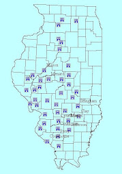
You can map the information you want to track in 2 different ways. One way is to use a good base map such as aerial photos or USGS topographic maps and trace your features onto those. Another way is to get a downloadable GPS and collect the data on site. Down load the data and display it on your base map.

No comments:
Post a Comment